Arctic Air Mass Transformations During Warm Air Intrusions and Marine Cold Air Outbreaks
Simulations
The HALO-(AC)³ campaign will be accompanied by dedicated model simulations focussing on two main aims.
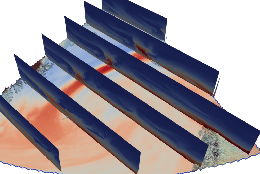
a) Simulations with a higher resolution than operational global forecasts will be performed to support flight planning especially with respect to cloud properties. Two specific ICON simulations will cover areas important for HALO (north of Kiruna, approx. 2 km resolution) and P5/P6 (north-west of Svalbard, 600 m resolution). The model results will also be available for first evaluations and investigations following the first reseach flights.
Exemplary rivercuts (Plot provided by Vera Schemann)
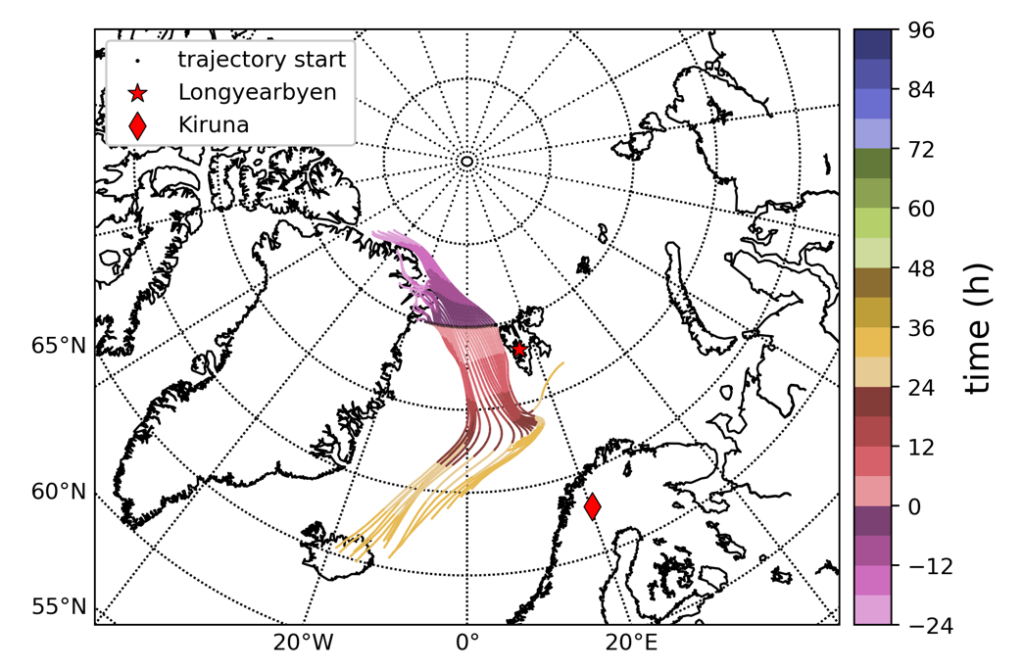
b) To investigate arctic air masses and understand their evolution during their travel across the arctic, it is important to calculate trajectories and provide information about the origin and predicted flow of the air masses. For this aim dedicated trajectories are calculated to support the flight planning as well as the data interpretation.
Exemplary trajectories originating at Fram Strait. (Plot provided by Benjamin Kirbus)